


TETROFOR - Remote sensing of tropical vegetations
Keywords
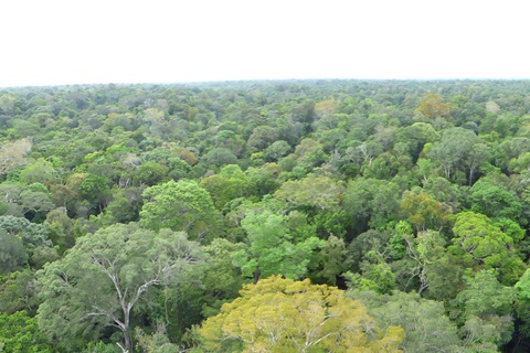
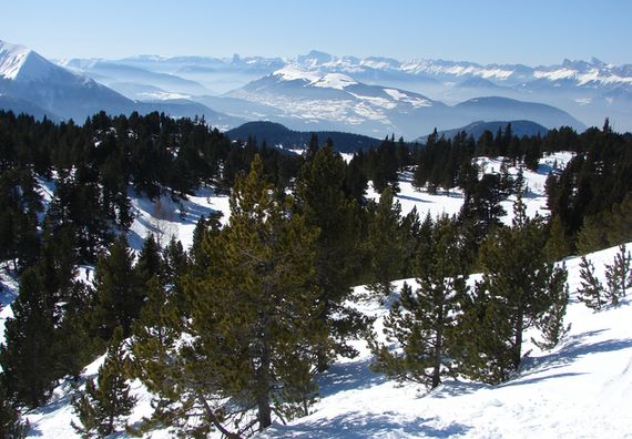
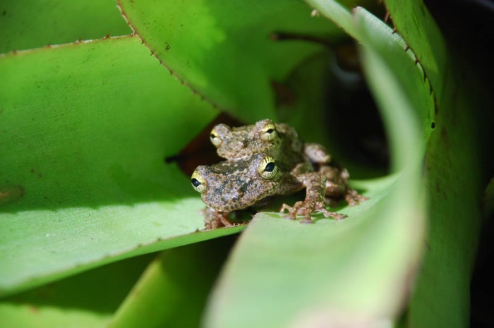
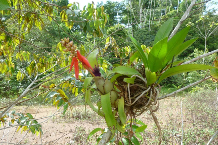
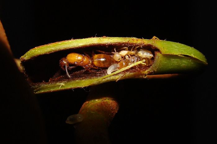
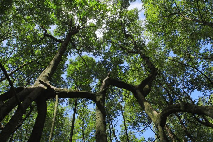
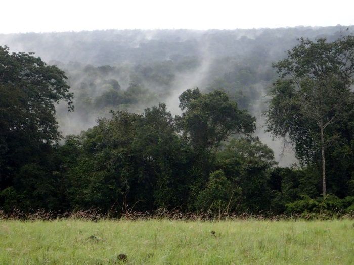
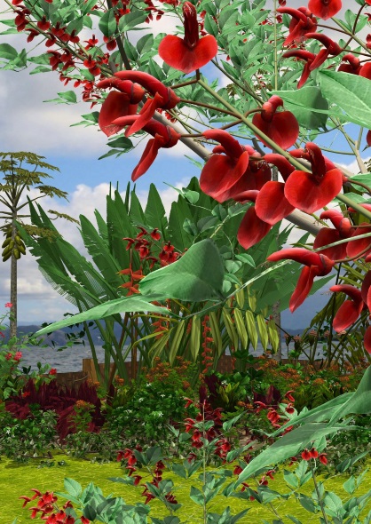
To characterise the role of natural tropical vegetation as a reservoir of biodiversity and an essential component in the regulation of biogeochemical (water, carbon) and energy cycles on a global scale.
This theme brings together research actions that implement remote sensing tools and ad hoc methodological developments.
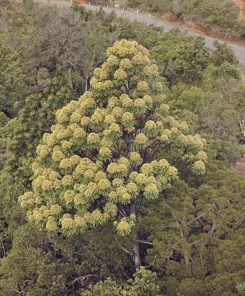
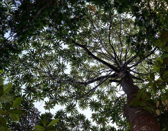
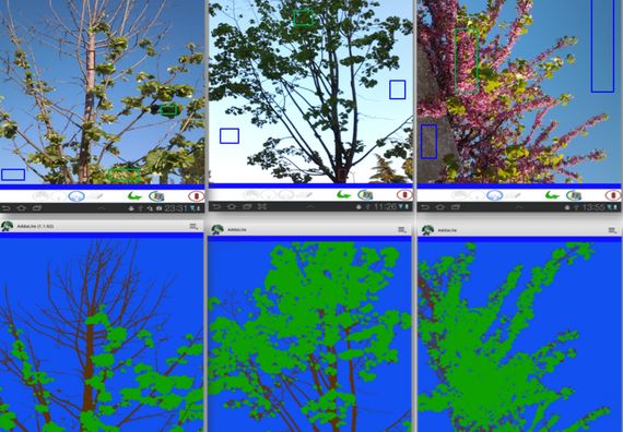
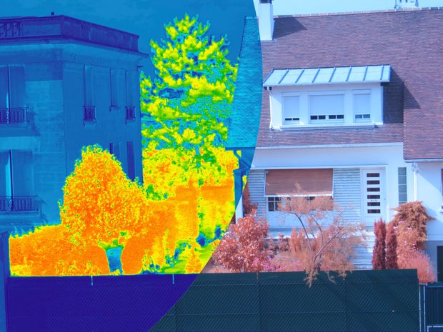
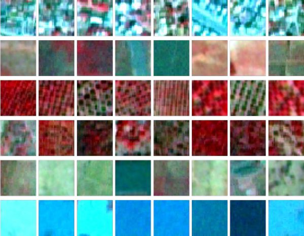
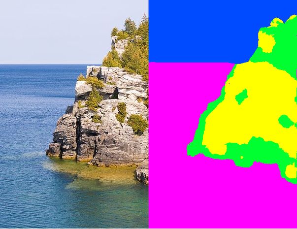
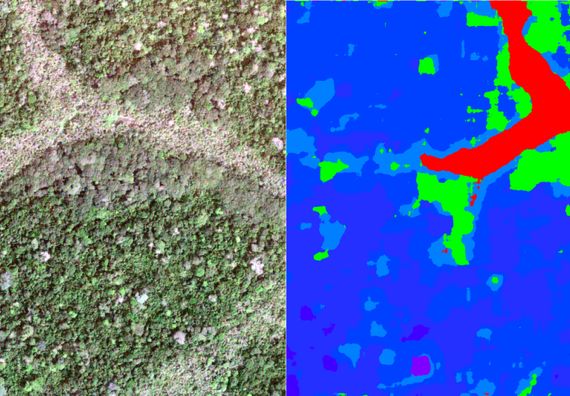
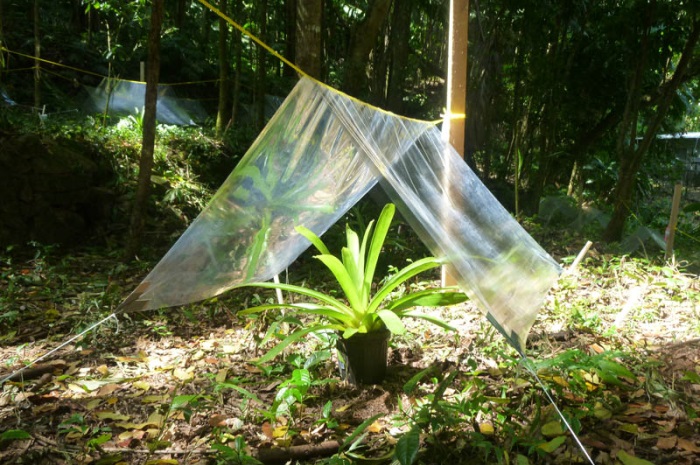
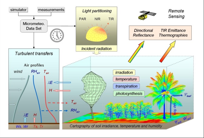
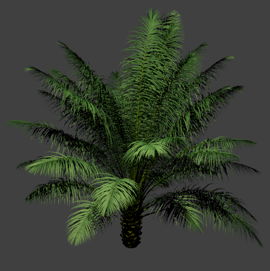
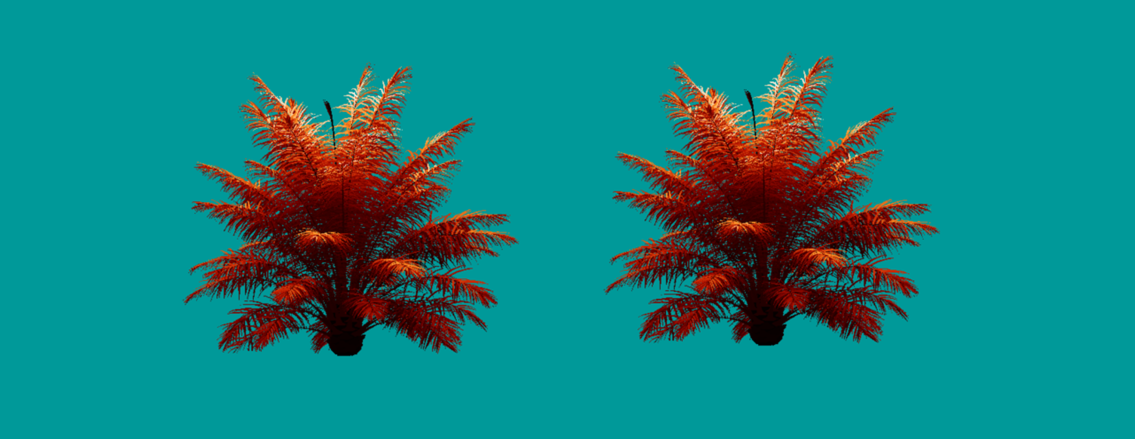
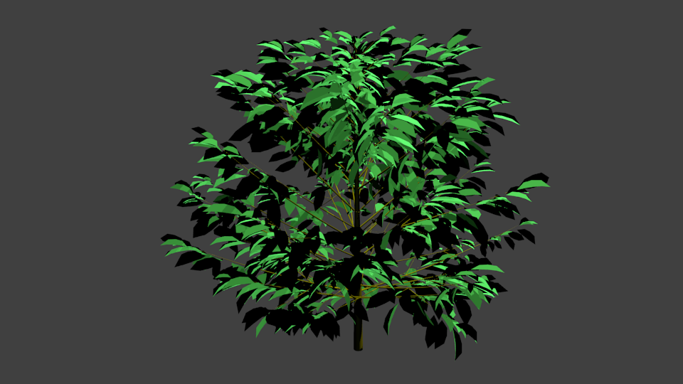
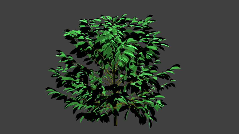
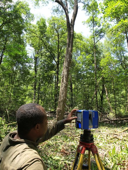
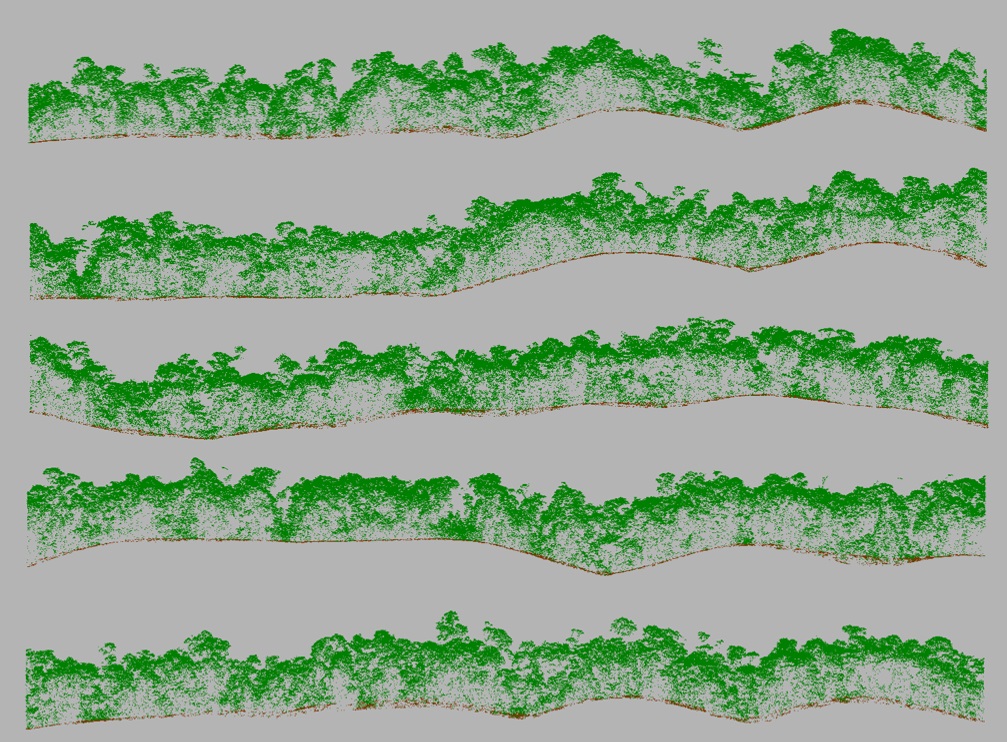
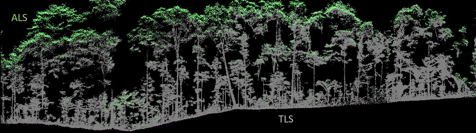
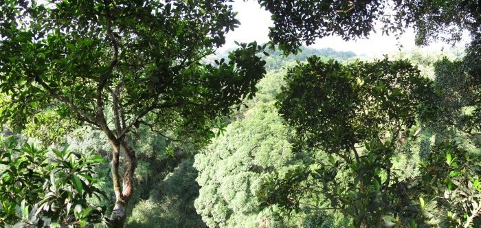
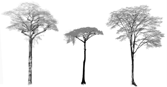
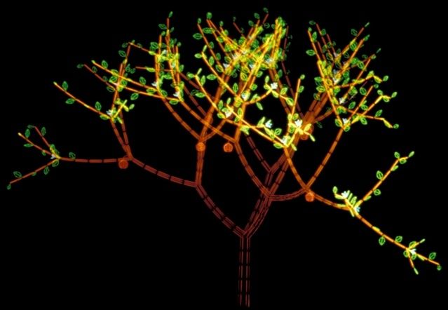
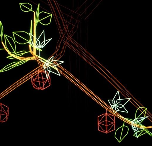
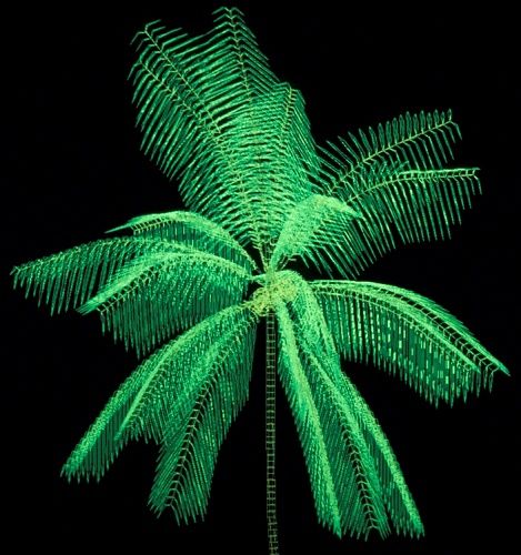
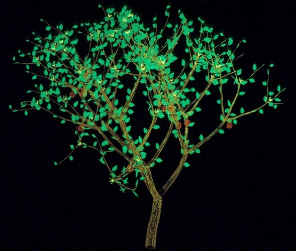
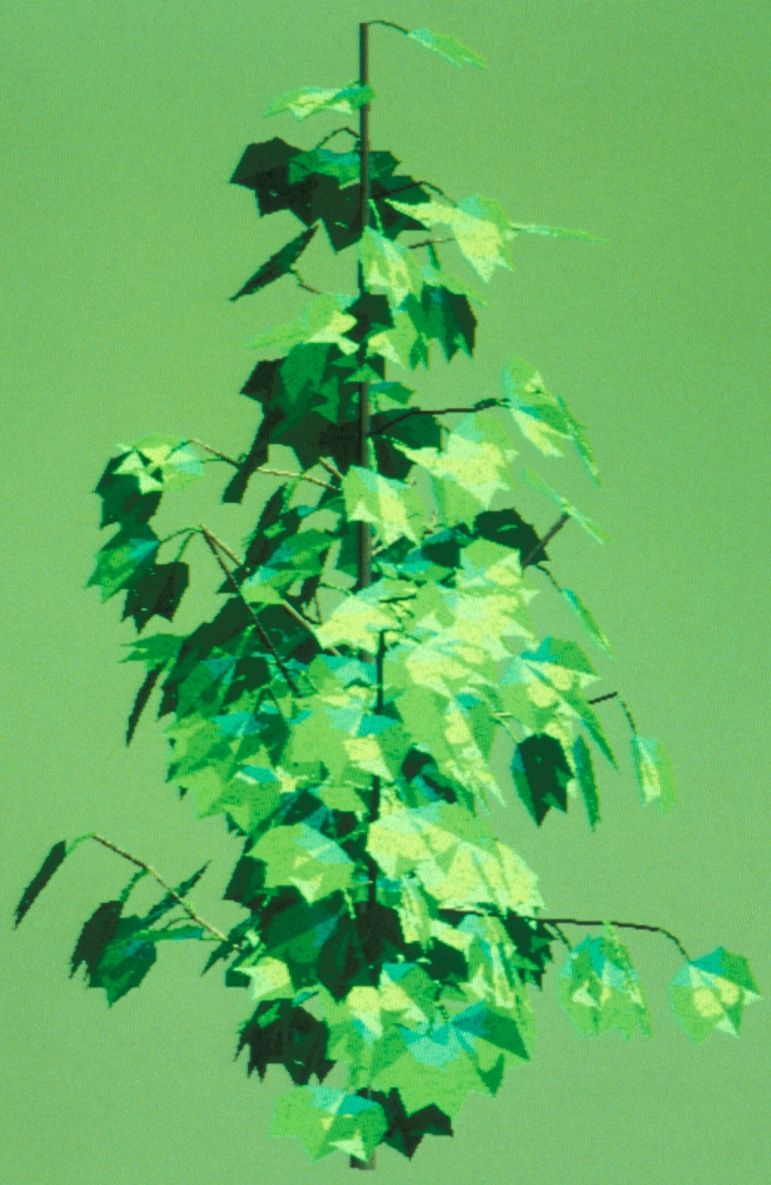
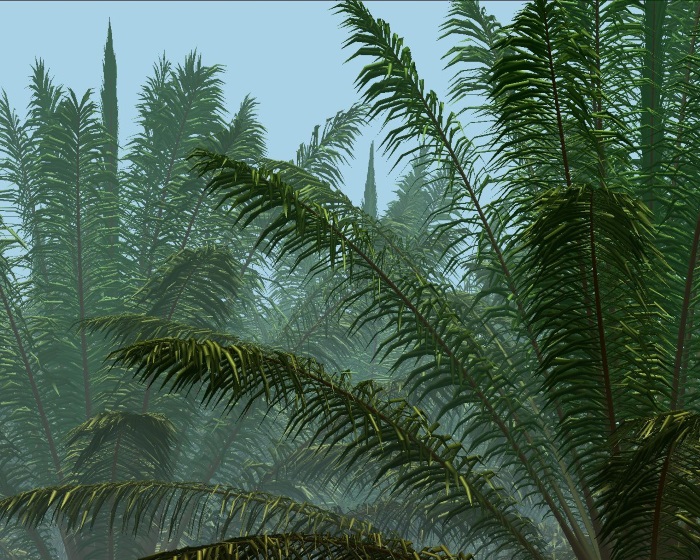
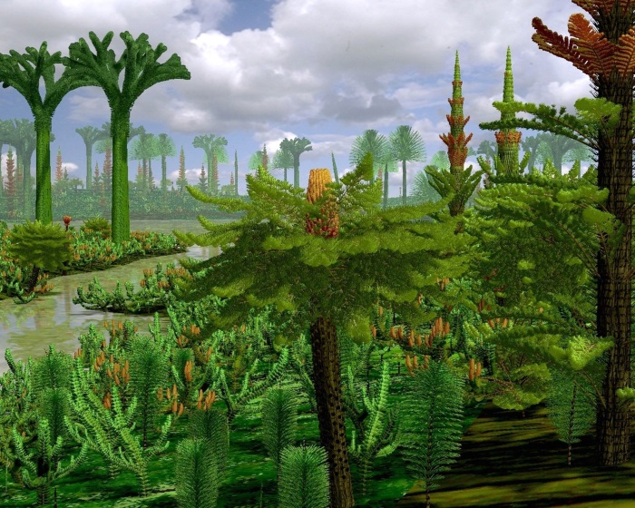
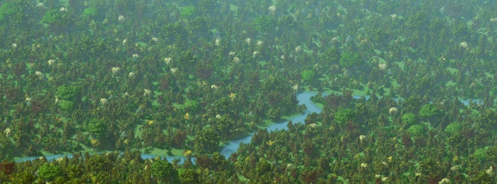
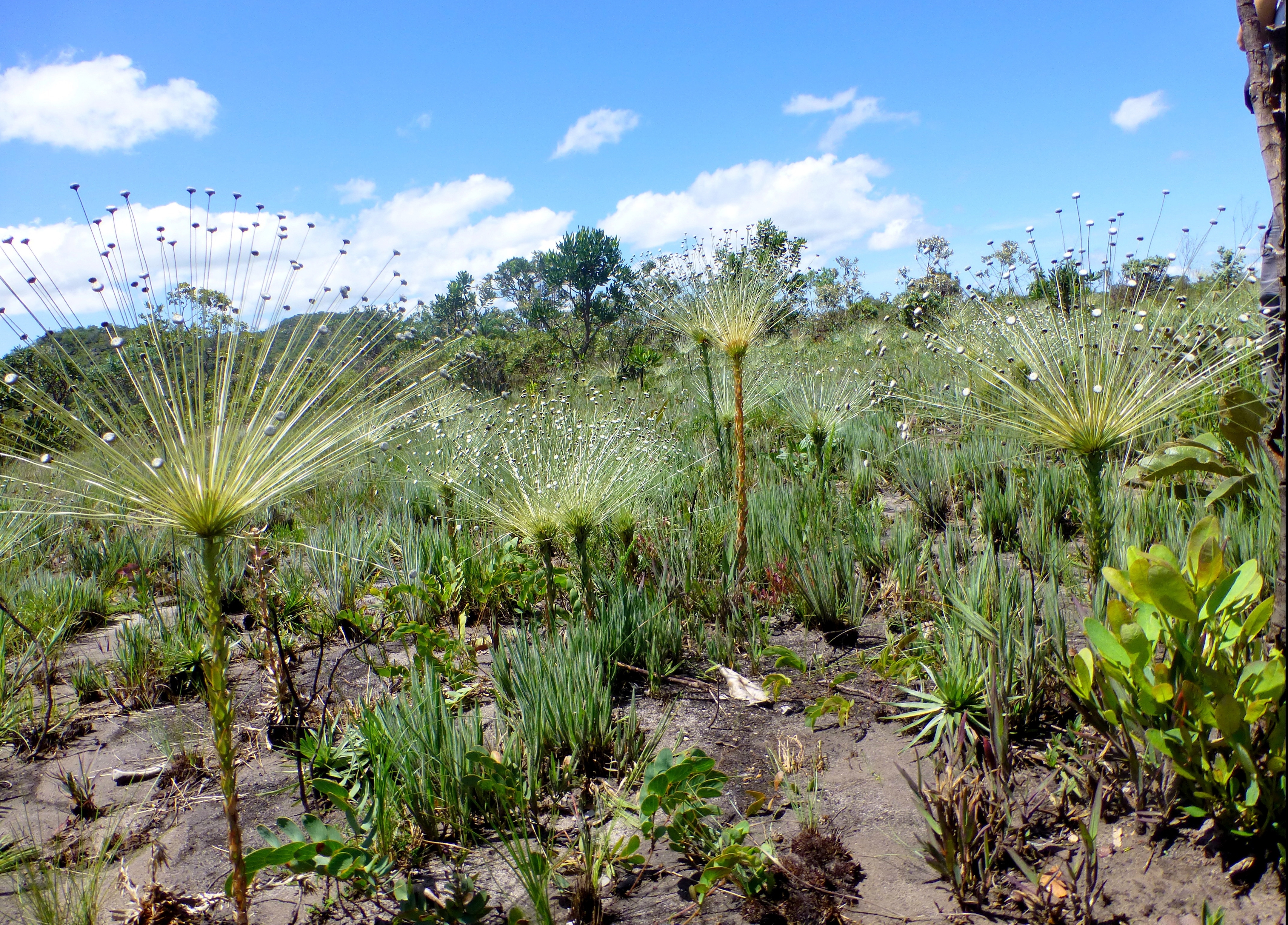
Remote sensing approaches are generally based on the use of passive or active signals of high resolution (temporal, spatial or spectral). LiDAR (terrestrial or airborne) plays a predominant role among these tools, thanks to the unique link it establishes between tree architecture and stand organisation, as well as its potential for quantifying carbon acquisition and allocation. Our approaches are also based on (i) mapping of tropical forests at different scales (local, regional) using multi-sensor, multi-temporal and multi-spatial resolution approaches, (ii) canopy modelling (based on archi-FSPM models or 3D digitisation) and (iii) modelling of radiative transfer, both from a functional (photosynthesis, allocation, etc.) and instrumental (sensor sensitivity, cal/val) perspective.
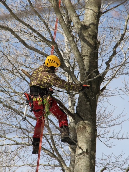
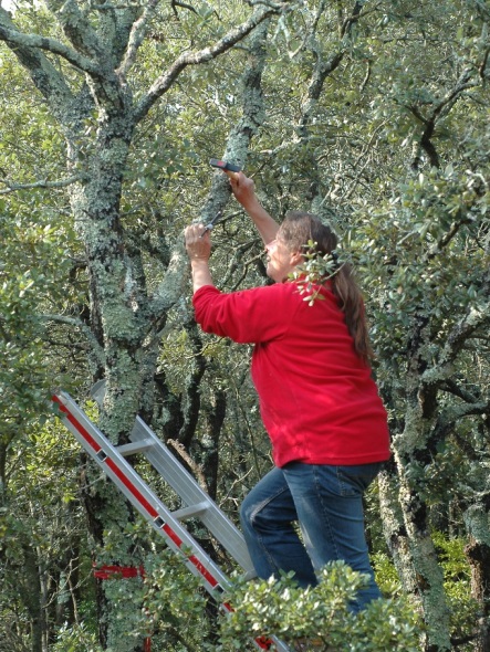
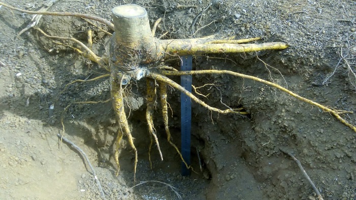
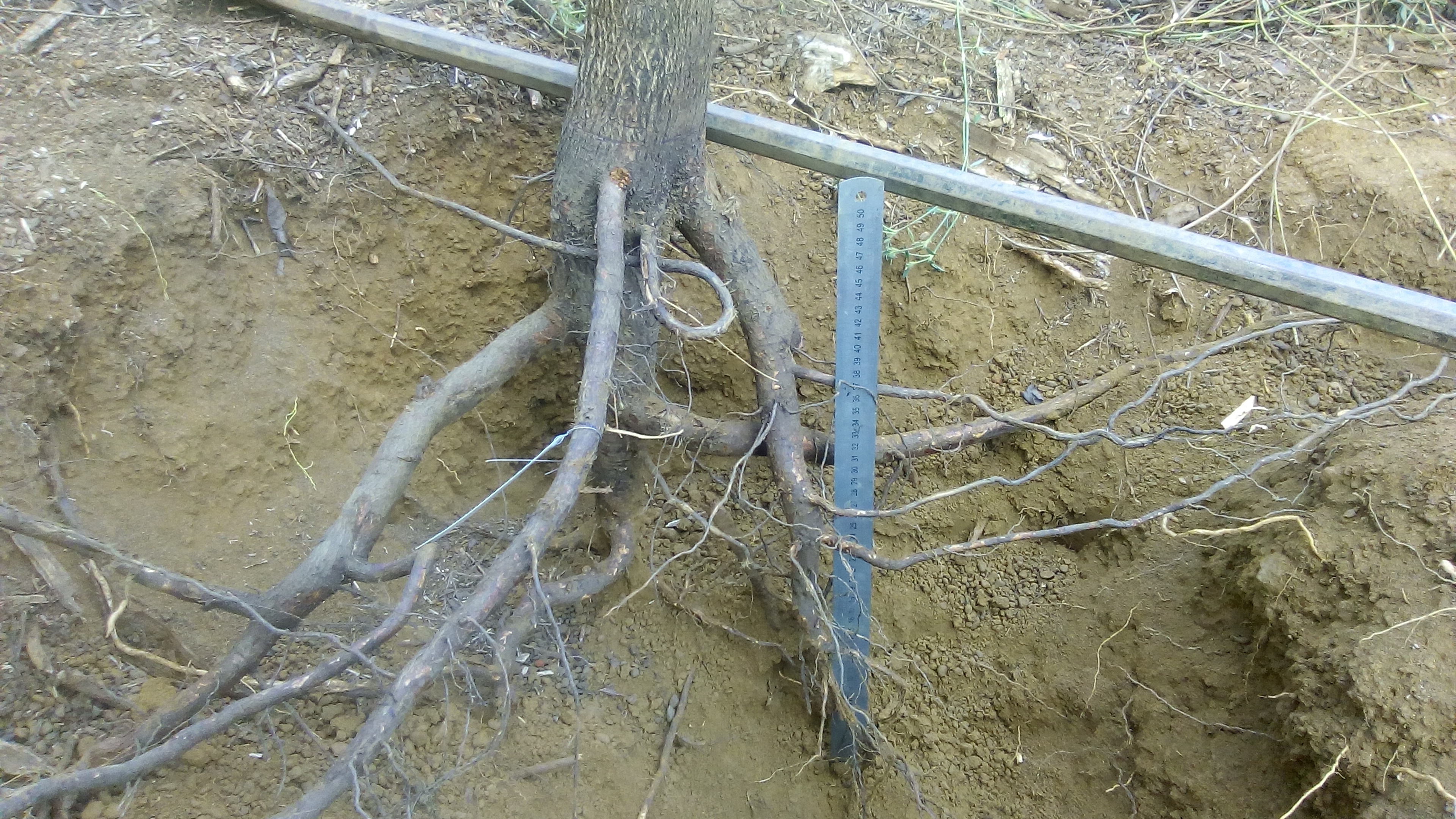
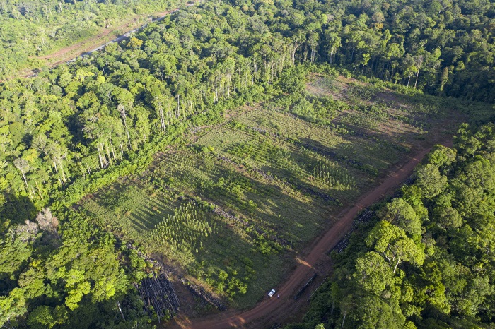
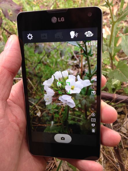
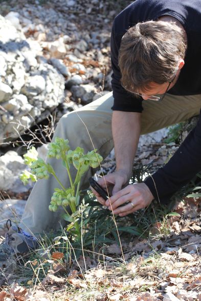
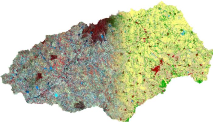
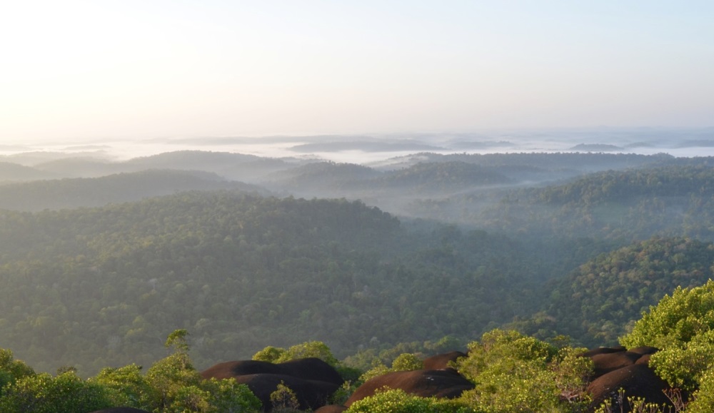
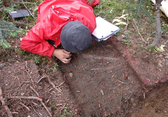
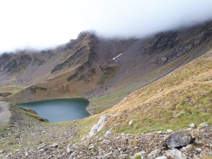
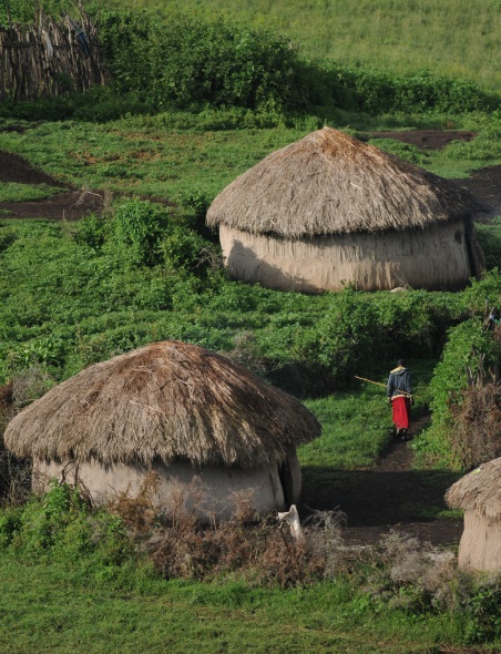
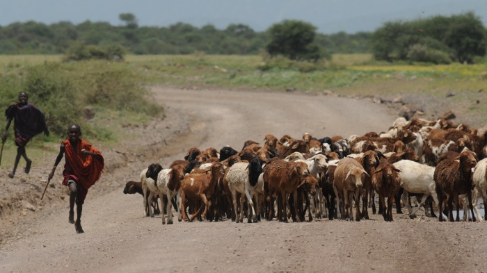
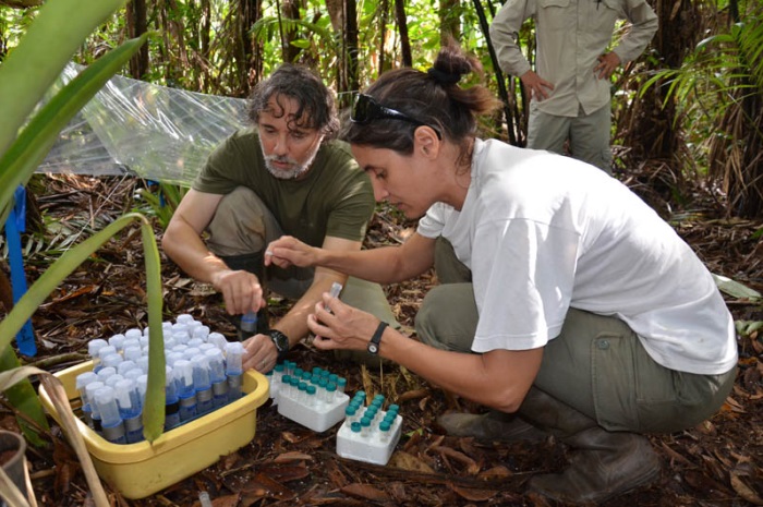
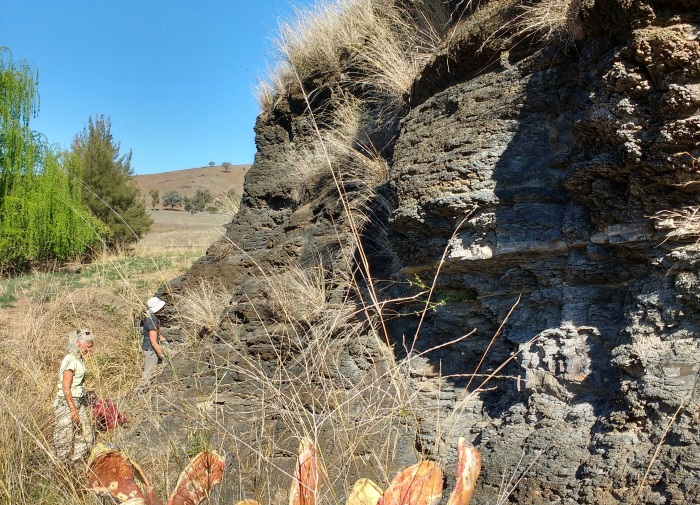
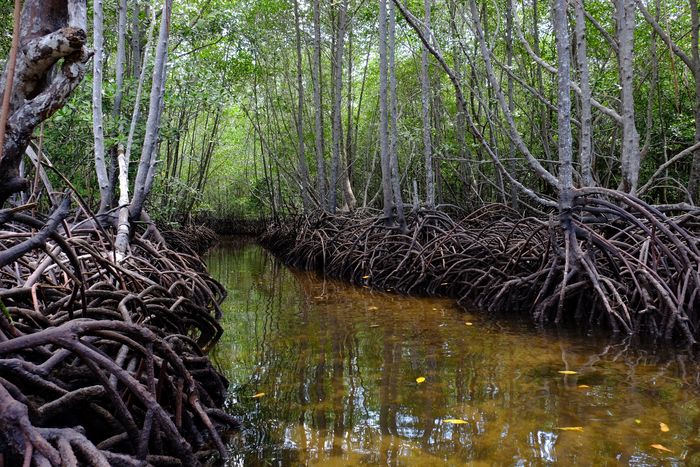
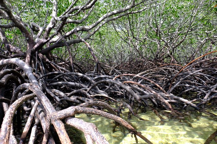
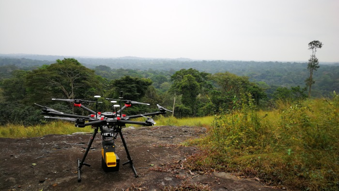
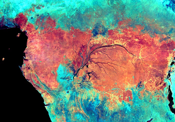
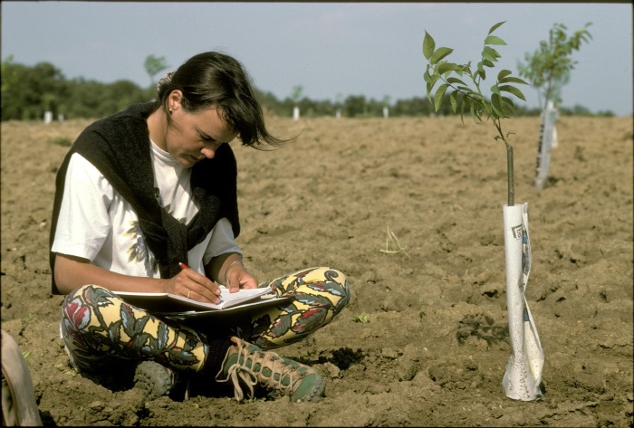
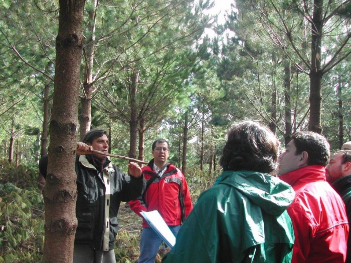
We are involved in research projects, impact studies, development studies, or sensitivity studies, through services for public or private partners. This involves producing vegetation maps or providing field data or compatible population models for radiative transfer modelling. Our main projects are in Central Africa (LMI Dycofac) and in French Guiana (Labex CEBA) but also in New Caledonia, India and Thailand. Access to ground truth data relies on plot networks developed in partnership with local institutions. We regularly mobilise close remote sensing equipment (6 drones, 5 qualified pilots, 3 TLS scanners, 1 UAV-LS scanner, DGNSS systems), a spectroradiometer, canopy climbing equipment and trained climbers. We also have an archive of airborne and/or satellite images in our regions of intervention allowing us to develop analyses of cover dynamics.
| Acronym | Title | Duration |
|---|---|---|
| ADMIRE | Partenariat pour l’Analyse des DynaMIques de REforestation et de la résilience forestière Porteur : Philippe BIRNBAUM | 2021 - 2024 |
| ALT | Amazonian Landscapes in Transition Porteur : Jérôme CHAVE (EDB, Toulouse) | 2022 - 2025 |
| AMPLI | AMPLI, Learning and Inverse Procedural Modeling for Authoring Large Virtual Worlds Porteur : Eric GUERIN (LIRIS - INSA Lyon / CNRS) | 2020 - 2025 |
| Carto Veg NHPC Phase 2 | Suivi de la dynamique du couvert végétal et des compensations du barrage de Nachtigal Porteur : Nicolas BARBIER | 2022 - 2026 |
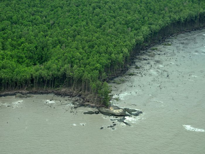
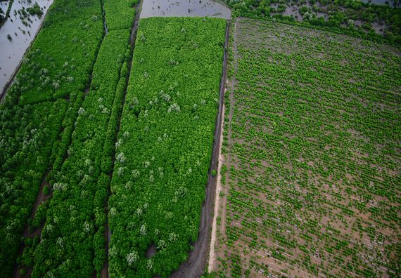
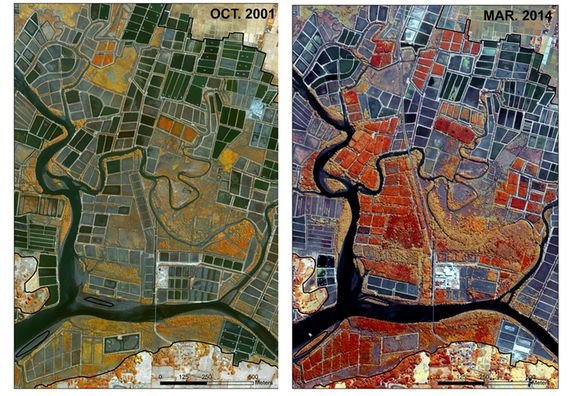
| CARTOMAG | Cartographie dynamique des Mangroves Guyanaises Porteur : Christophe PROISY | 2022 - 2024 |
| CoForFunc | Toward a biome-scale monitoring of the COngo basin FORest FUNCtional composition Porteur : Raphaël PELISSIER | 2024 - 2027 |
| DESSFOR | Degraded Stable States in Tropical Forests Porteur : Maxime REJOU-MECHAIN | 2021 - 2025 |
| FRANCO | Coastal blue carbon ecosystems from space Porteur : Aurélie DEHOUCK (i-SEA) | 2024 - 2026 |
| FRM4BIOMASS | Fiducial Reference Measurements for biomass Porteur : Jérôme CHAVE (EDB, Toulouse) | 2024 - 2025 |
| IFIHSA | Inventaires forestriers par imagerie hyperspectrale aéroportée Porteur : Olivier BRUNAUX (ONF) | 2023 - 2024 |
| MICROMETER | Using Mobile LiDAR Scanning to characterise the micro-environment of tropical forest understorey. Porteur : Vincyane BADOUARD | 2023 - 2024 |
| NATURAL FORESTORE | Capture and Storage of Carbon in Natural Tropical Forests Porteur : Emmanuel PARADIS (ISEM) | 2024 - 2027 |
| NeoFIRE | Understanding and scaling vulnerability of neotropical Amazon and transitional forests to altered fire regimes Porteur : Imma OLIVERAS (University of Oxford) | 2022 - 2026 |
| NUM-DATA | PEPR FORESTT PC5 NUM-DATA Porteurs : Sophie FORTUNO (CIRAD) / Christian PICHOT (INRAE) | 2024 - 2030 |
| OFVI | One Forest Vision Initiative Porteur : Jean-François SOUSSANA (INRAE) | 2023 - 2027 |
| Phenobs | Towards a phenology observatory in French Guiana to study climate-vegetation feedbacks and the diversity of plant strategies Porteur : Nicolas BARBIER | 2020 - 2024 |
| RIFT | Soutien aux infrastructures, tours de Flux Porteur : Jérôme DEMARTY (IRD) | 2024 - 2027 |
| TROPECOS | Bilans de carbone des écosystèmes côtiers tropicaux dans l’Anthropocène Porteur : Gwenaël ABRIL (CNRS) | 2023 - 2027 |


BADOUARD Vincyane 2022 - 2025. Déterminants de la distribution spatiale des arbres du sous-étage en forêts tropicales. Ecole doctorale : GAIA / Université de Montpellier. Dir : VINCENT Grégoire / Co-dir. : MARCON Eric
LOMWONG Noppawan 2024 - 2027. Elucidating the spatiotemporal dynamics of tropical forest structure and composition using a combination of field and advanced remote sensing technologies. Ecole doctorale : Chiang Mai University / Chiang Mai University. Dir : PIMMONRAT Tiansawa / Co-dir. : REJOU-MECHAIN Maxime
PRIEUR Colin 2022 - 2025. Télédétection hyperspectrale pour l’exploitation soutenable des forêts tropicales: quand la modélisation physique rencontre l'apprentissage profond.. Ecole doctorale : GAIA / Université de Montpellier. Dir : VINCENT Grégoire / Co-dir. : CHANUSSOT jocelyn
YANG Junliu 2023 - 2027. Utilisation de lidar aéroporté pour cartographier l'évolution de la force de puits de carbone des forêts tropicales. Ecole doctorale : GAIA / Université de Montpellier. Dir : VINCENT Grégoire
- JB Feret (Tetis MPL),
- D Coomes (Cambridge U),
- S Saatchi (NASA JPL),
- R Valbuena (Wales University),
- J Chanussot (GIPSA Grenoble),
- M Disney (UCL),
- V Deblauwe (CBI),
- B Sonké (LaboSYstE, ENS-Univ Yaoundé I),
- JP Gastellu Etchegorry, T Le Toan (Cesbio),
- H Poilvé (Airbus DS),
- M Herold (WUR),
- T Stévart (MBG),
- S Gourlet Fleury, E Forni (CIRAD Forêts et Sociétés).